Project Digital Engineering
Wireless sensor networks and concepts for their quality assurance and optimisation for the monitoring of building physics parameters.
Computer-assisted construction and renovation a requirement of growing towns and cities
As people continue to flock to live in cities, buildings shoot up ever higher and closer together and in certain situations with intermingling of residential estates and industrial areas. To speed up the highly efficient planning and execution of complex new and renovated urban buildings, the ”Digital Engineering for Planning and Revitalisation Processes of Urban Neighbourhoods“ research group has been working on innovative computer-assisted techniques, which will help digitalise (i.e., automatically capture, process, store, visualise and validate) data from buildings, entire districts and areas of land. The methodology developed enables a consistent basis for planning to be found and both the current state of the buildings and the effect of new works to be evaluated. The research group, led by the Bauhaus-Universität Weimar, has relied on technology from a number of disciplines. For instance, drones were used to help capture the geometrical and thermographic data of existing buildings. At the same time, use was made of innovative, automatic image analysis to recognise building damage and to generate three-dimensional building, district or terrain models, to draw up maps of damage identified, and to analyse energy aspects.
IMMS focus on wireless, meshed sensor networks for monitoring physical building characteristics
IMMS brought to bear its know-how in the field of wireless sensors for the purpose of widespread continuous, long-term monitoring of features of individual buildings or whole neighbourhoods like surface temperature, heat flow and wind activity. From the sensor signals, buildings or building categories can be assessed. Construction measures can be simulated, together with their potential effects on heating and ventilation or energy efficiency. Certain types of building structure, terrain forms and sizes presented special challenges to the architecture of the sensor network.
One aspect of the IMMS research was to see how far it is possible to use meshed networks as a complement to conventional, often expensive civil engineering survey methods. Surveyors can only measure at particular spots for limited periods. The meshes consist in reasonably priced self-connecting sensor nodes which, being compact and battery-powered, can in theory be installed and removed absolutely anywhere without requiring infrastructure modification. As they communicate from ”facade to facade“, an entire building complex can give up its data so that one step has already been taken in the monitoring of whole districts. Long-term monitoring in combination with numerous measuring points also provides a comprehensive database for research purposes. One focus could be the identification of interesting parts of a building for further, closer measurements.
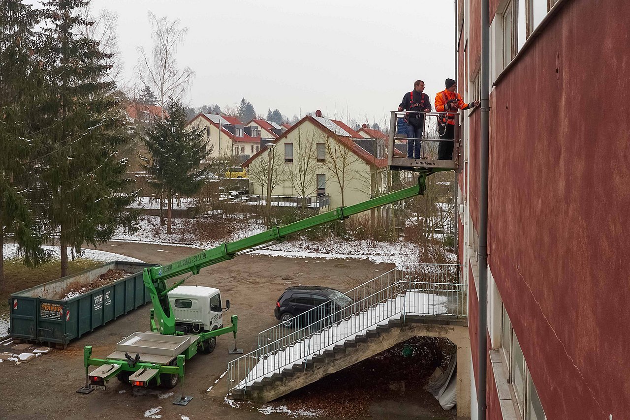
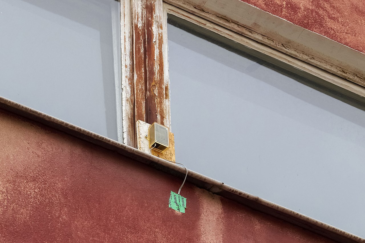
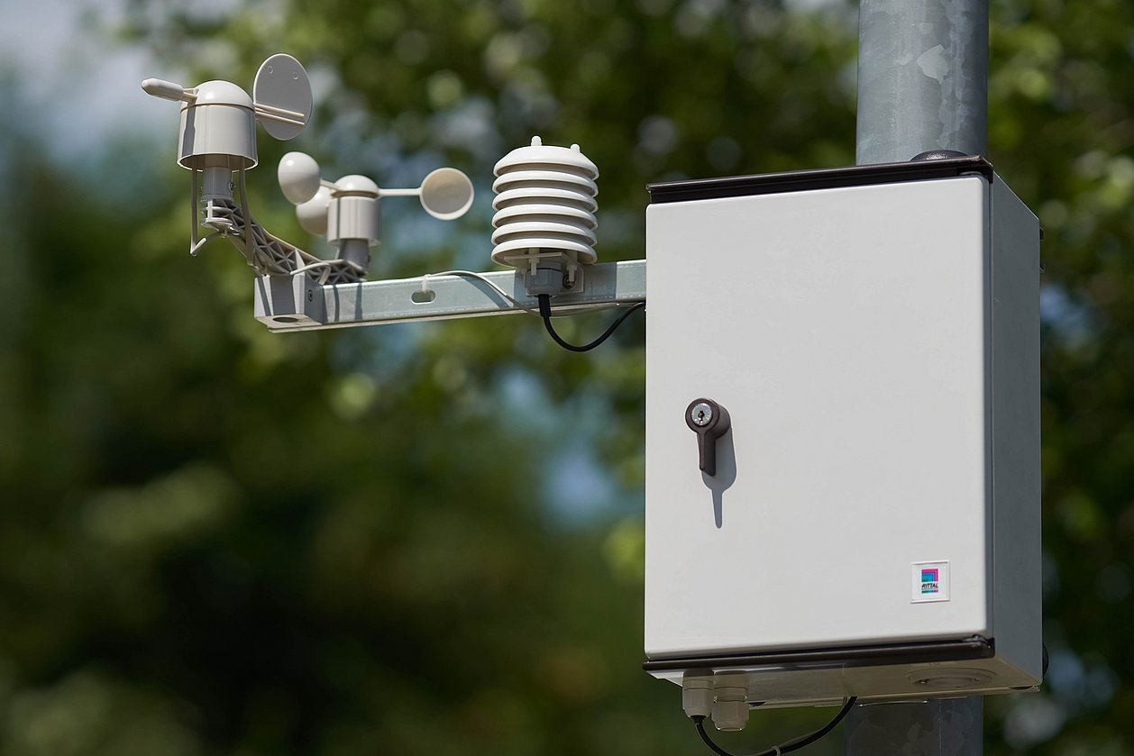
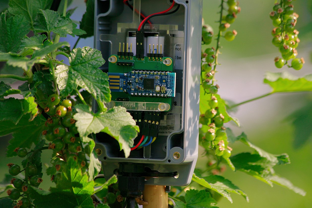
IMMS has tested networked sensors on buildings. The hardware (see Fig.1) is weather-proof, independent of any infrastructure and reasonably priced and the software has been created by IMMS. The data collected has already been used for thermal-energetic simulations of physical buildings, has helped in a number of drone flights for thermography and has been integrated into BIM, a system of metadata modelling for construction purposes. Thus, features of buildings or the building fabric itself can be monitored and options for new construction or refurbishment better compared and planned. For example, long-term recording of the effective heat conduction from the interior to the exterior and vice versa will support model-based decisions, perhaps whether merely to change the heating regime or to install facade insulation along entire streets. Available for future research projects in addition are 30 sensor nodes equipped with temperature sensors, four basic nodes for connection to gateways, and software with appropriate configuration that has already been implemented for the gateway and server systems.
Acronym / Name:
Digital Engineering / Research group Digital Engineering for Planning and Revitalisation Processes of Urban NeighbourhoodsDuration:2016 – 2019 (IMMS 2018 – 2019)
Application:
Environmental monitoring and smart city applications|Digitalisation| monitoring of structures and building physics parametersResearch field:Smart distributed measurement and test systems
Related content
Datenerfassung in urbanen Räumen mittels drahtloser Sensornetze
Marco Götze1.Kickoff Forschergruppe Bauhaus-Universität Weimar - Digital Engineering für Planungs- und Revitalisierungsprozesse von Stadtquartieren, 28. Februar 2017, Weimar
1IMMS Institut für Mikroelektronik- und Mechatronik-Systeme gemeinnützige GmbH, 98693 Ilmenau, Germany.

Press release,
Forschergruppe der Bauhaus-Universität Weimar leistet wichtigen Beitrag zur automatisierten Bauwerksüberwachung
IMMS erarbeitete drahtlose Sensornetzwerke zur Langzeitüberwachung von Bauwerken.
Contact
Contact
Dr.-Ing. Tino Hutschenreuther
Head of System Design
tino.hutschenreuther(at)imms.de+49 (0) 3677 874 93 40
Dr. Tino Hutschenreuther will answer your questions on our research in Smart distributed measurement and test systems and the related core topics Analysis of distributed IoT systems, Embedded AI and Real-time data processing and communications, on the lead applications Adaptive edge AI systems for industrial application and IoT systems for cooperative environmental monitoring as well as on the range of services for the development of embedded systems.
Funding
Funded by the Land of Thüringen from the European Social Fund. The research group “Digital Engineering for Planning and Revitalisation Processes of Urban Neighbourhoods” is funded under the reference 2016 FGR 0026.


